

Pulley Ridge Fishing Spots - GPS Maps & Numbers
Pulley Ridge Fishing Spots - GPS Maps & Numbers
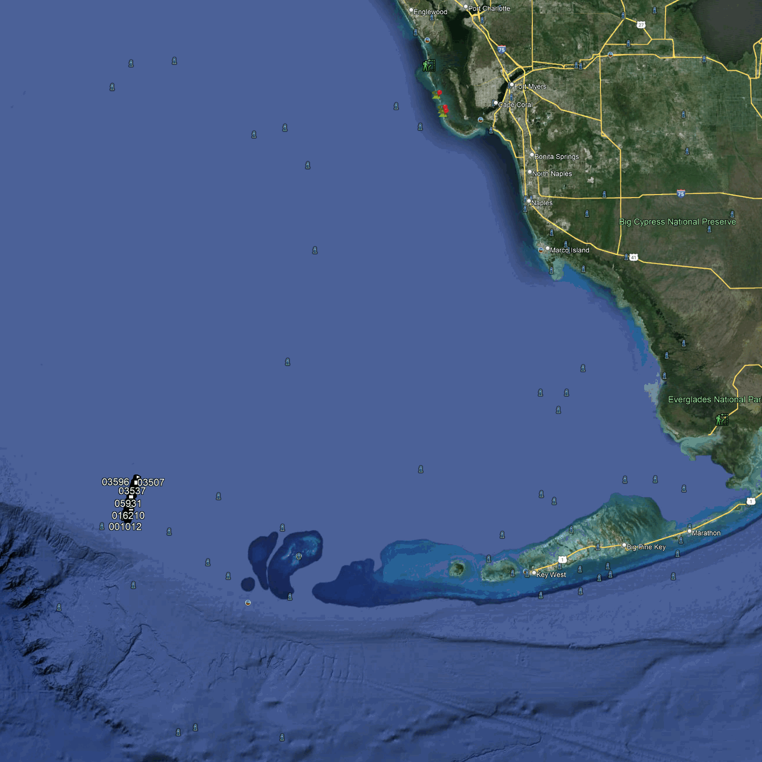
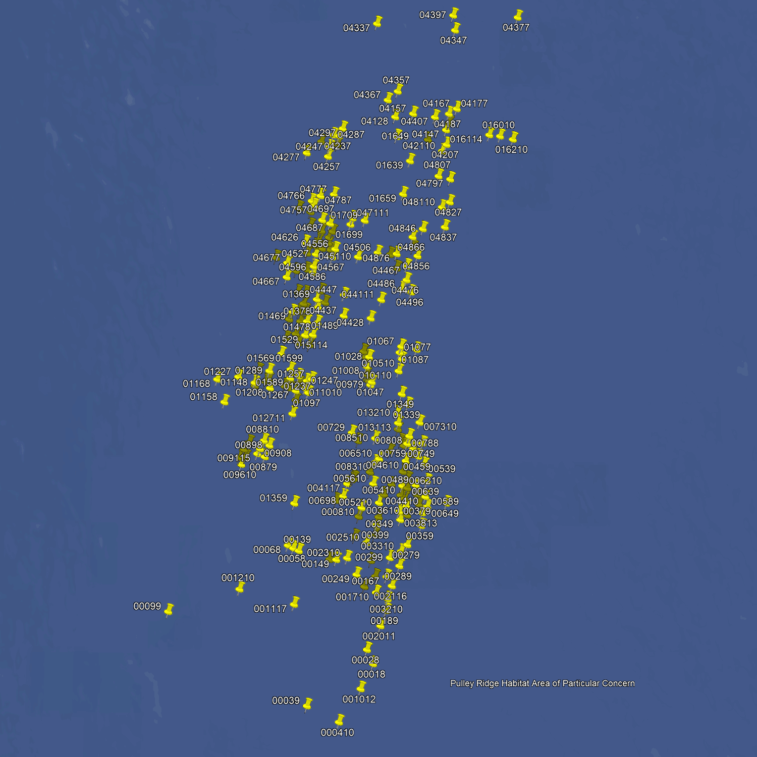
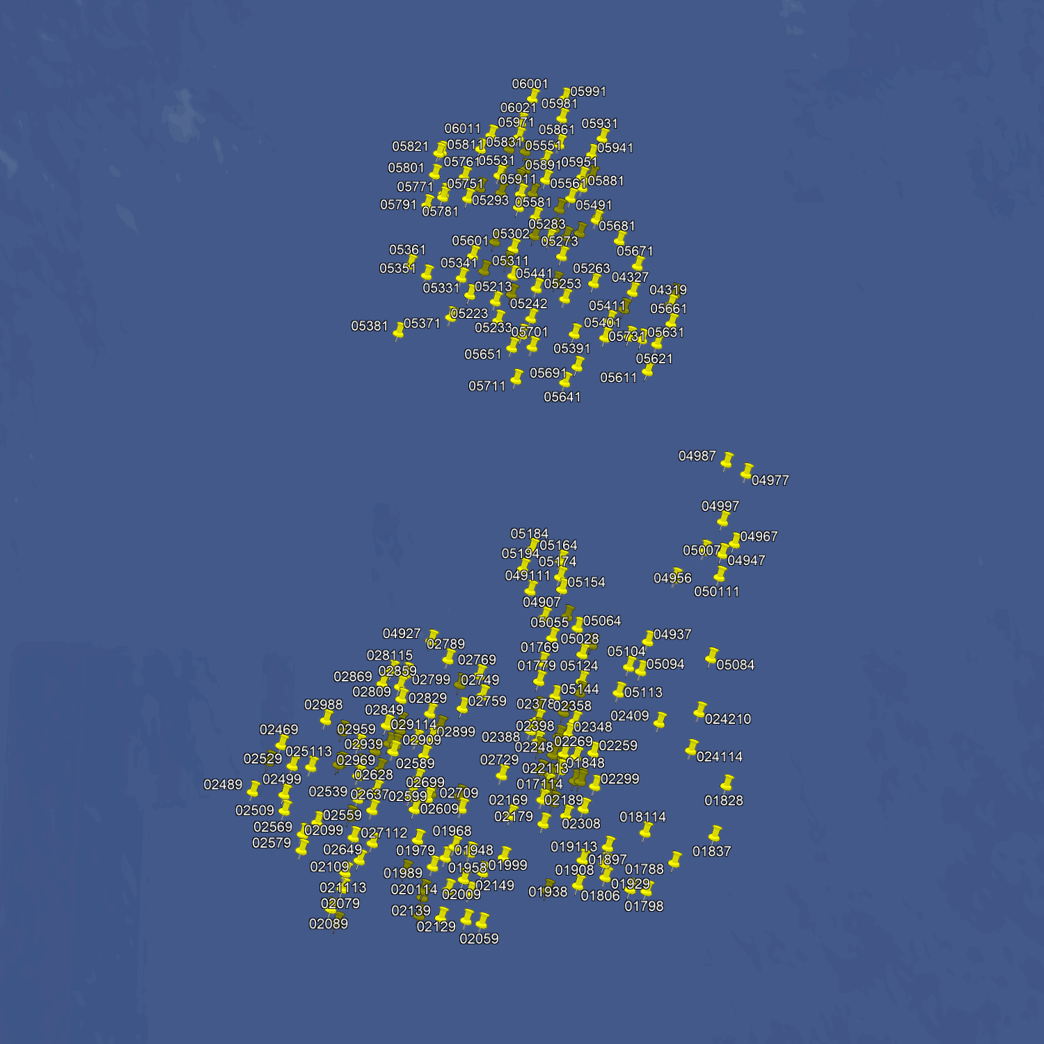
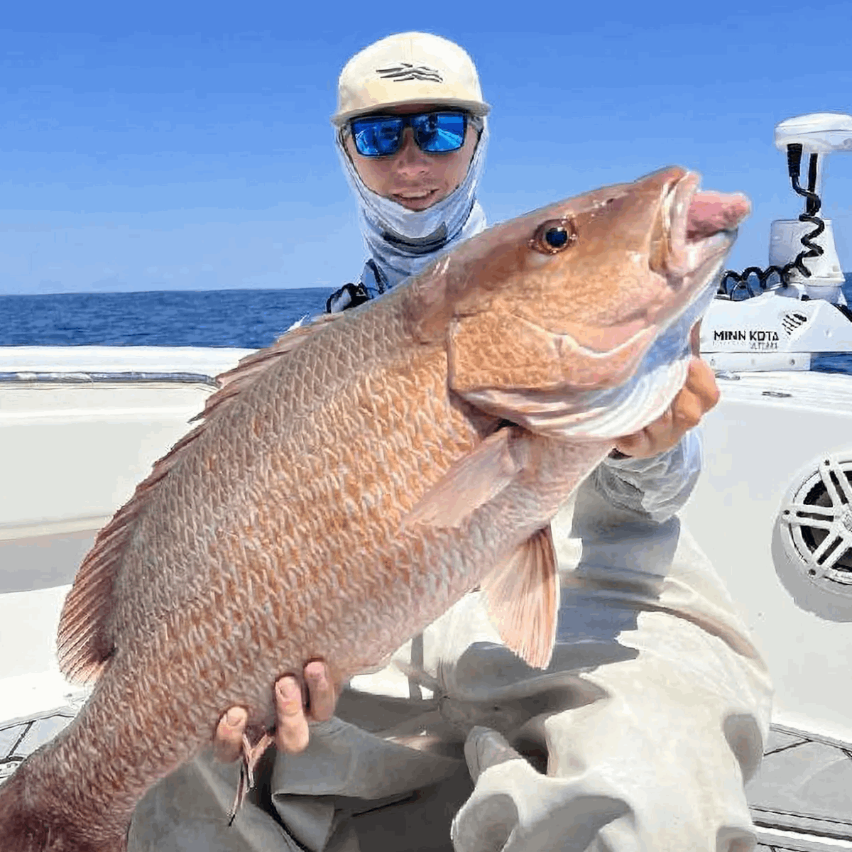
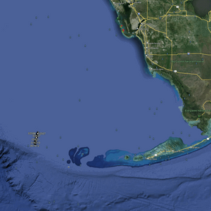
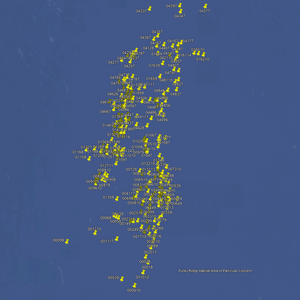
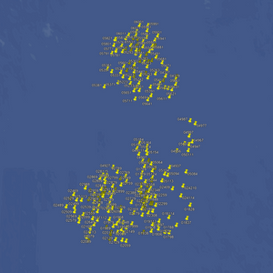
This is the ultimate fishing spot package for the serious offshore angler. 600+ spots in deep water from 200 to 300 feet deep. There are over 300 deepwater ledges and pinnacles and hundreds of pristine coral heads and hardbottom drift locations. There are also numerous deep water springs and 200+ large pinnacles jutting out of the Gulf of Mexico floor.
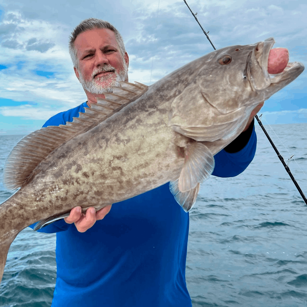
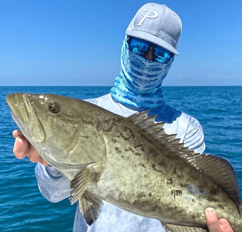
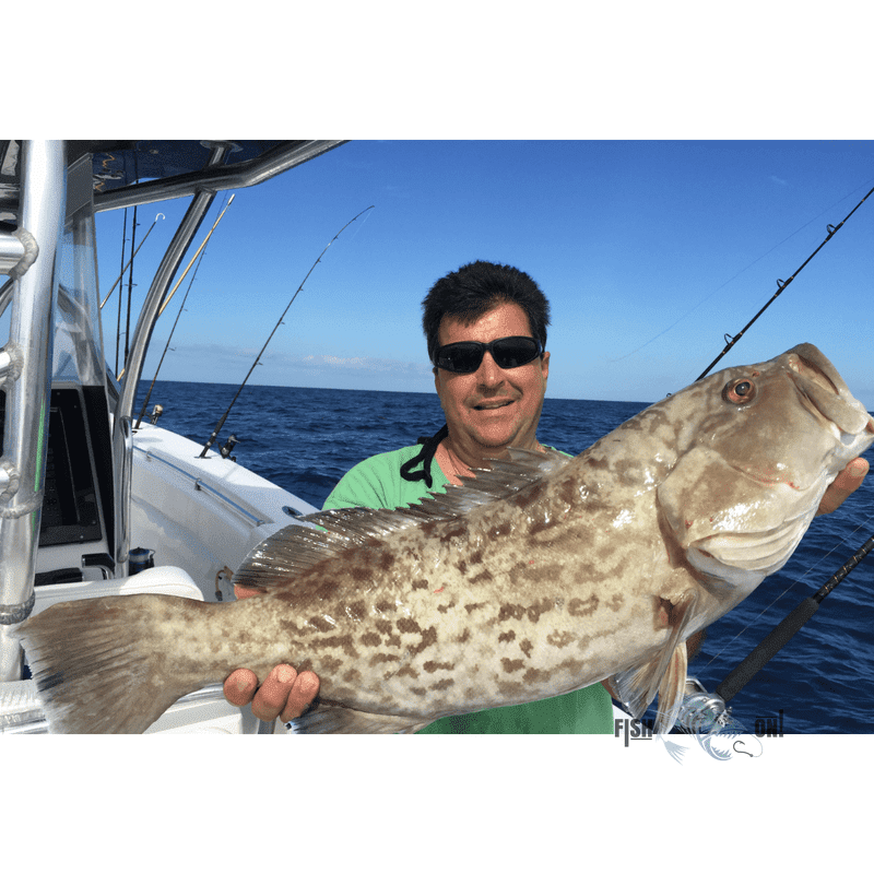
Our deep water packages are for serious long-distance anglers. If you're looking to deep drop for Warsaw, Snowy, Black & Yellow Edge Grouper, Queen Snapper, and Tilefish, or troll for Mahi and Wahoo, this package is what you are looking for. Good bottom in deep water 200 to 300+ feet.
This package is designed to fish with precision. Many of these spots are dead on top of underwater springs and holes, large boulders, and steep ledges. Take advantage to maximize your catch, and rest assured you're on the best fishing spots.
Compatible with Garmin, Simrad, Lowrance, Raymarine, B&G, Humminbird and Furono MFDs. Also, the apps from those manufacturers, Any mobile device or tablet running GPS Mapping software like Active Captain, Navionics, Aquamaps, Base Camp, GPX Studio, Google Earth, and many others.
More From Fish On


