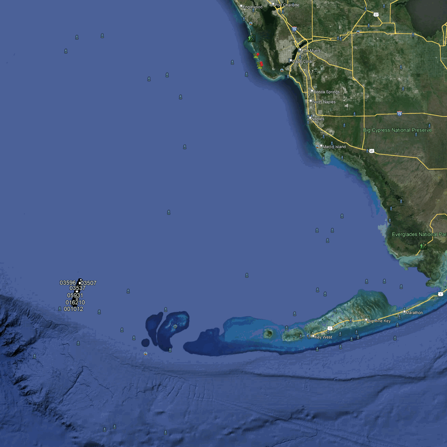
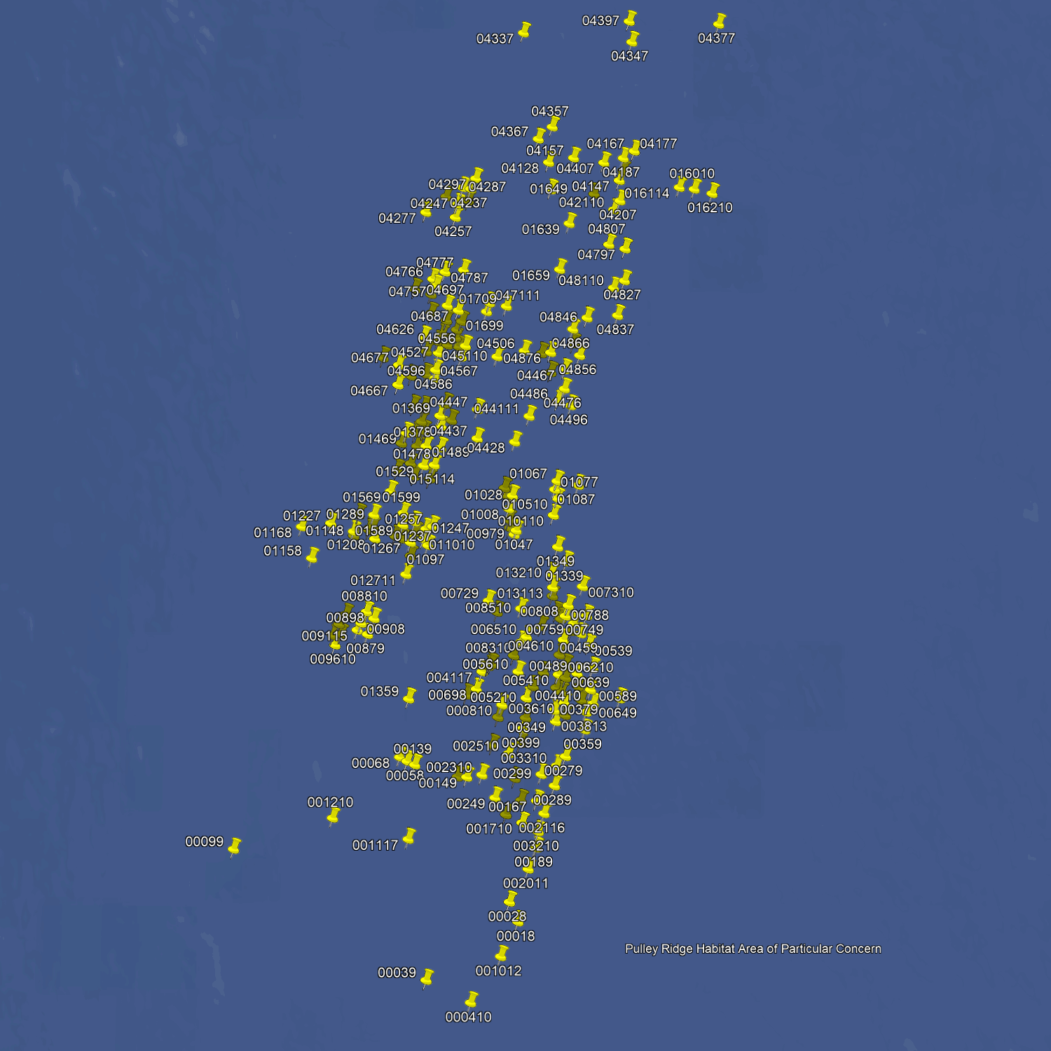
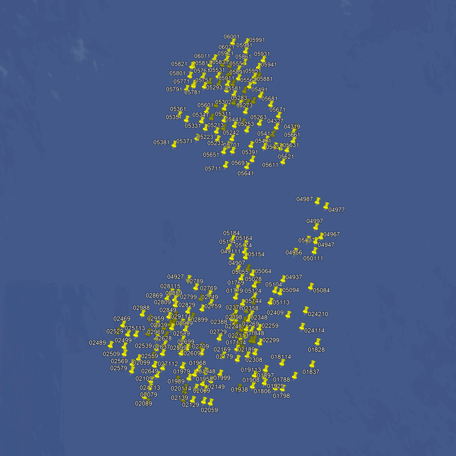

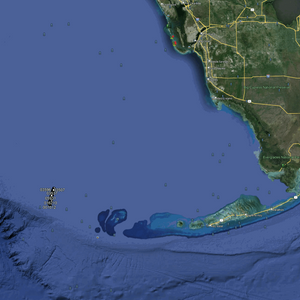

Zonas de pesca en Pulley Ridge: mapas GPS y números
Zonas de pesca en Pulley Ridge: mapas GPS y números
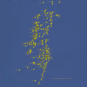
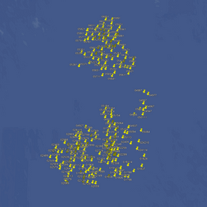
Este es el paquete definitivo de puntos de pesca para el pescador de altura más exigente. Más de 600 puntos en aguas profundas, de 60 a 90 metros. Hay más de 300 salientes y pináculos en aguas profundas, y cientos de arrecifes de coral vírgenes y zonas de pesca a la deriva en fondos rocosos. También hay numerosos manantiales de aguas profundas y más de 200 grandes pináculos que emergen del fondo del Golfo de México.
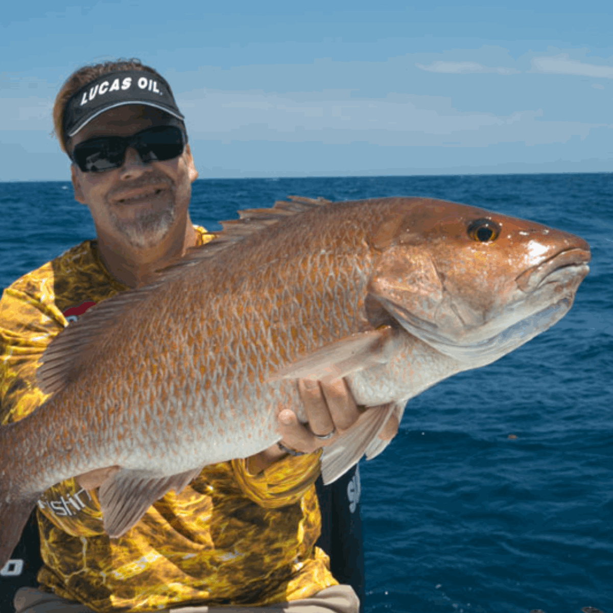
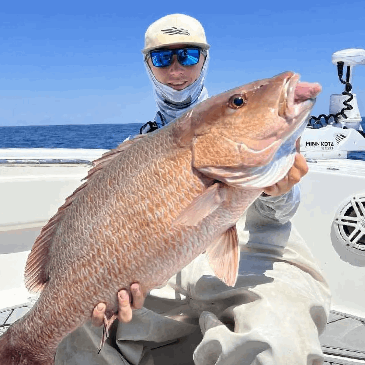
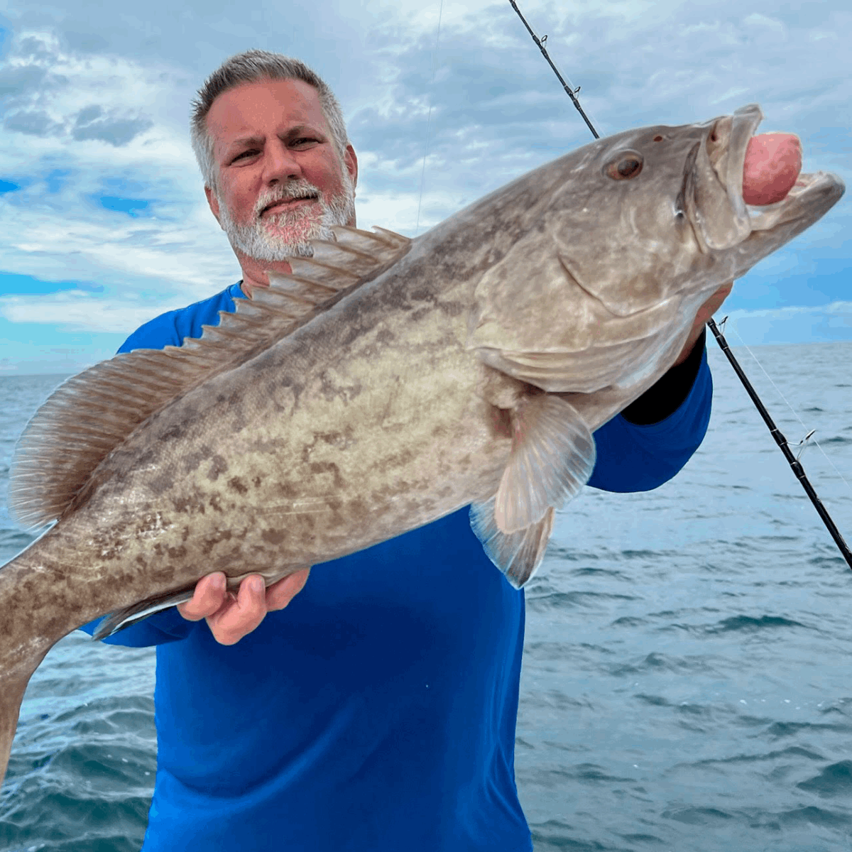
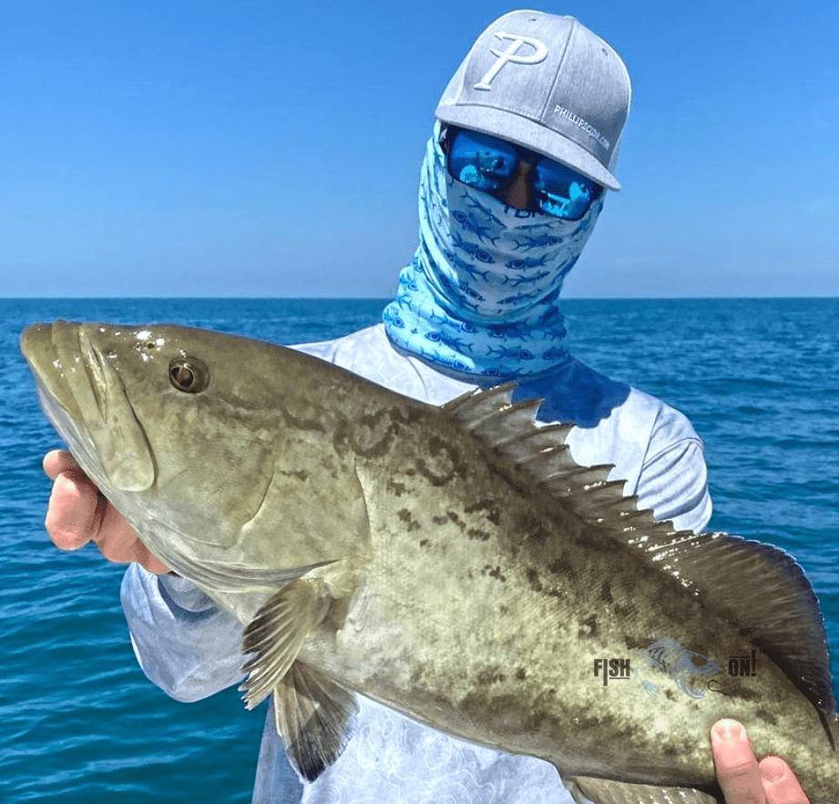
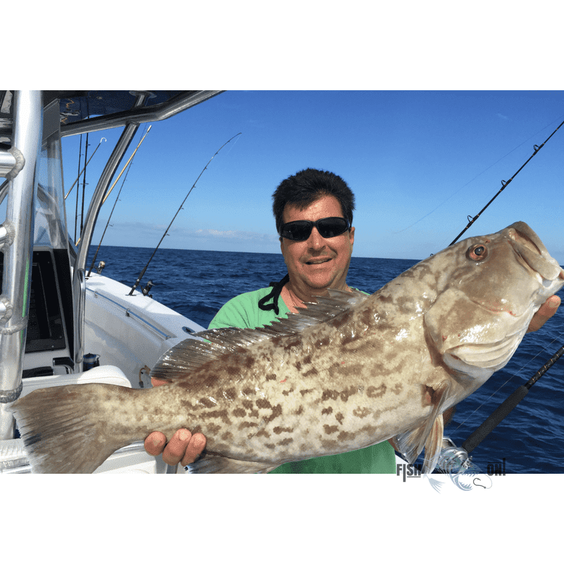
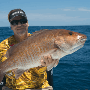
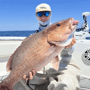
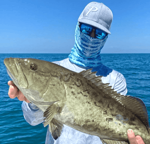
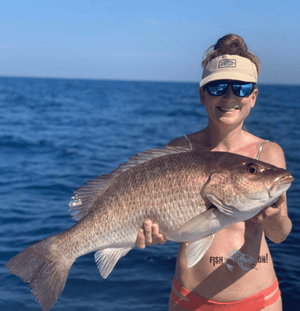
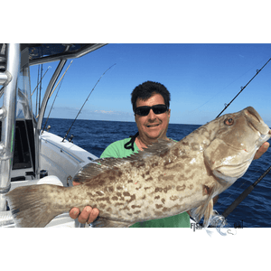
Nuestros paquetes de pesca en aguas profundas están diseñados para pescadores experimentados que buscan pescar en alta mar. Si desea pescar en aguas profundas especies como el mero de Varsovia, el mero nevado, el mero de borde negro y amarillo, el pargo reina y el blanquillo, o bien pescar dorado y peto al curricán, este paquete es ideal para usted. Fondos marinos de excelente calidad en aguas profundas de 200 a más de 300 pies.
Este paquete está diseñado para pescar con precisión. Muchos de estos puntos se encuentran justo encima de manantiales y pozos submarinos, grandes rocas y salientes escarpadas. Aproveche para maximizar su captura y tenga la seguridad de que está en los mejores lugares de pesca.
Compatible con pantallas multifunción (MFD) de Garmin, Simrad, Lowrance, Raymarine, B&G, Humminbird y Furono . También con las aplicaciones de dichos fabricantes, y con cualquier dispositivo móvil o tableta que ejecute software de cartografía GPS como Active Captain, Navionics, Aquamaps, BaseCamp, GPX Studio, Google Earth y muchos otros.
Más de Fish On


