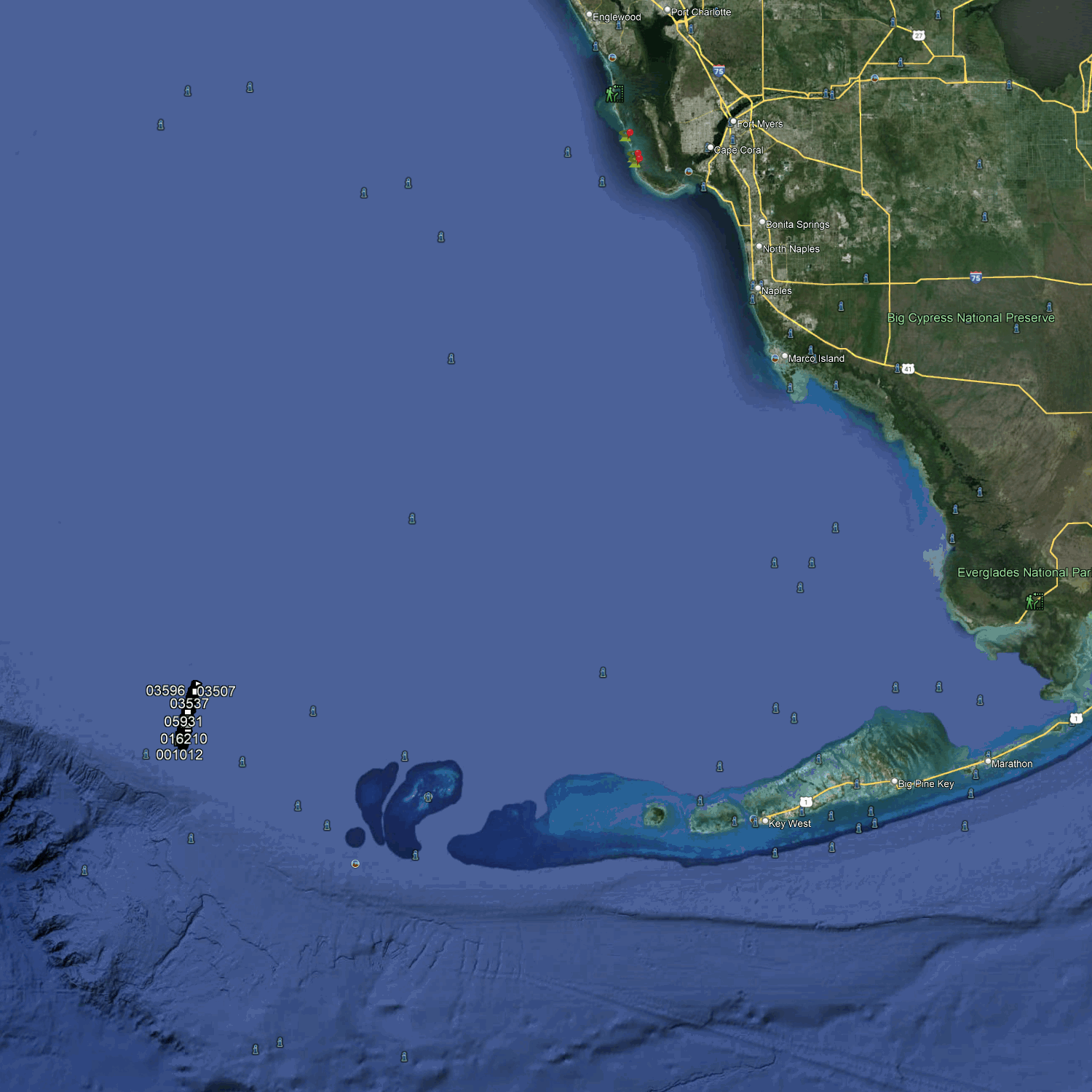
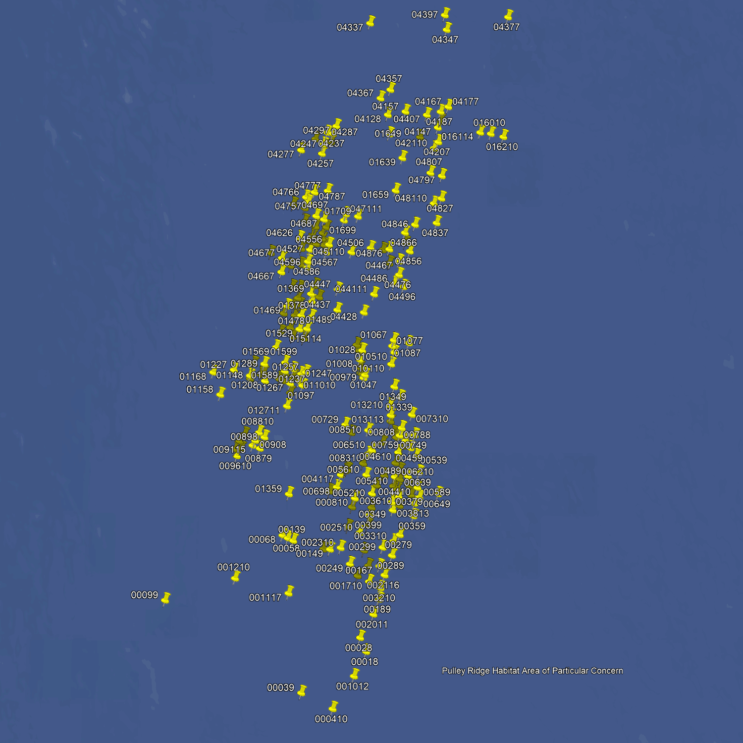
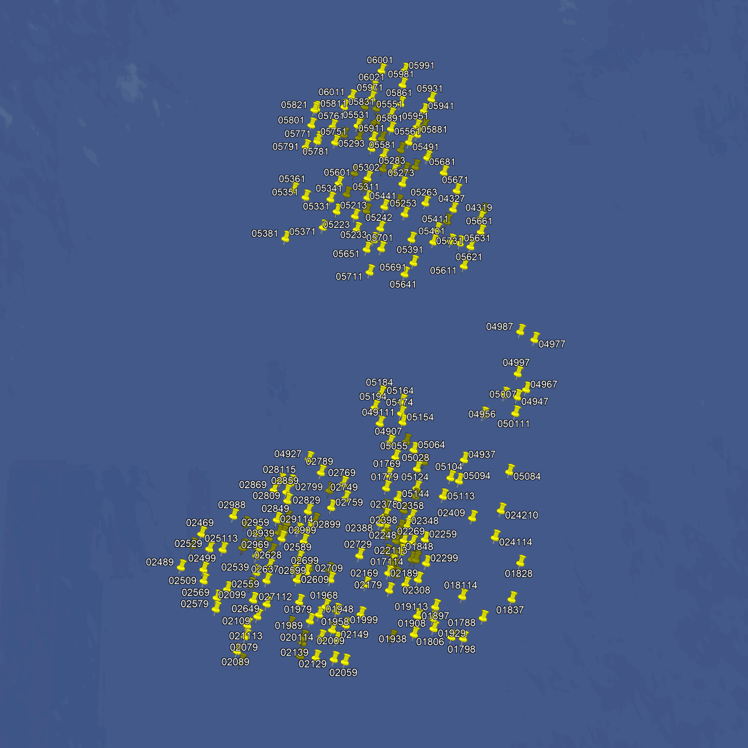

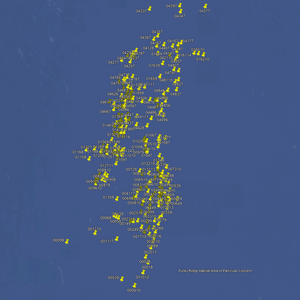
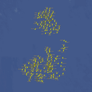

Lieux de pêche à Pulley Ridge - Cartes et numéros GPS
Lieux de pêche à Pulley Ridge - Cartes et numéros GPS
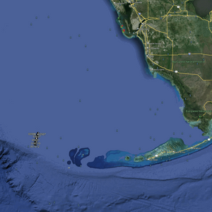
Voici le nec plus ultra des sites de pêche hauturière pour les pêcheurs passionnés. Plus de 600 sites en eaux profondes, entre 60 et 90 mètres. On y trouve plus de 300 plateaux et pinacles sous-marins, ainsi que des centaines de massifs coralliens préservés et de zones de pêche dérivante sur fond dur. De nombreuses sources d'eau profonde et plus de 200 grands pinacles émergent du fond du golfe du Mexique complètent ce tableau idyllique.
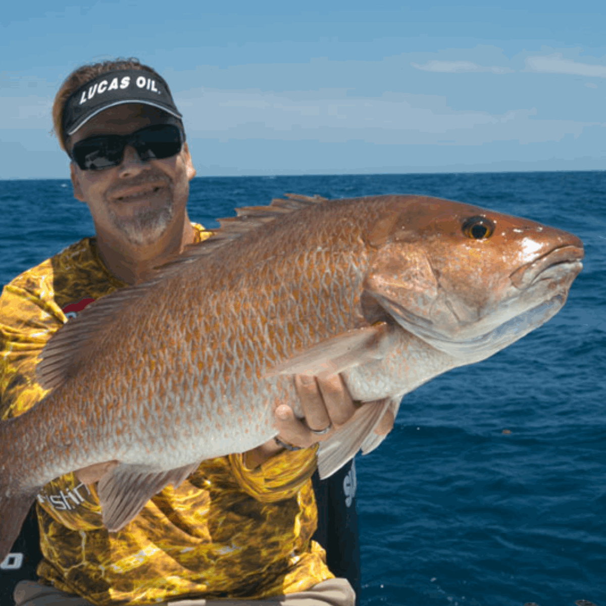
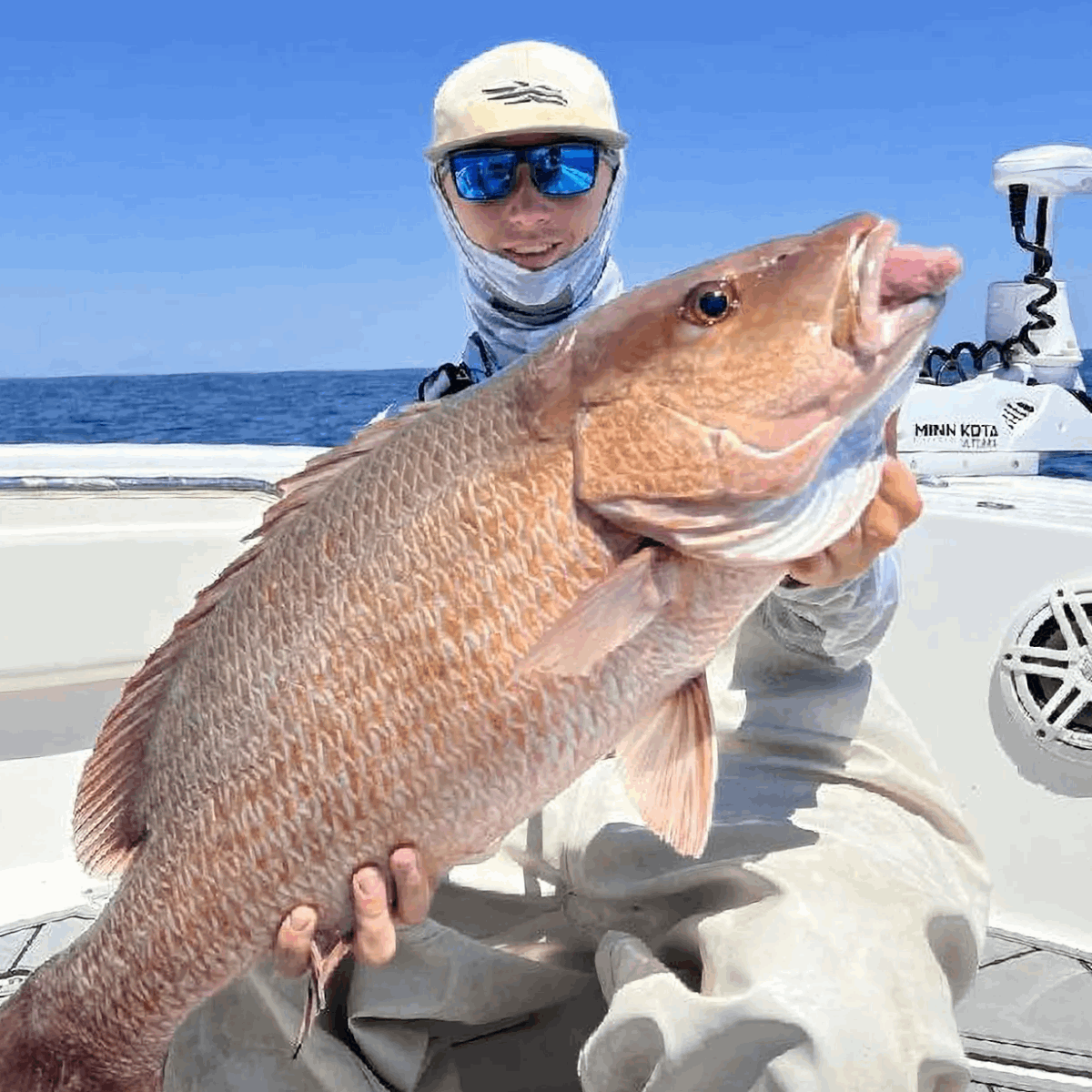
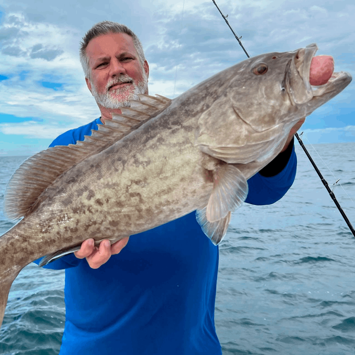
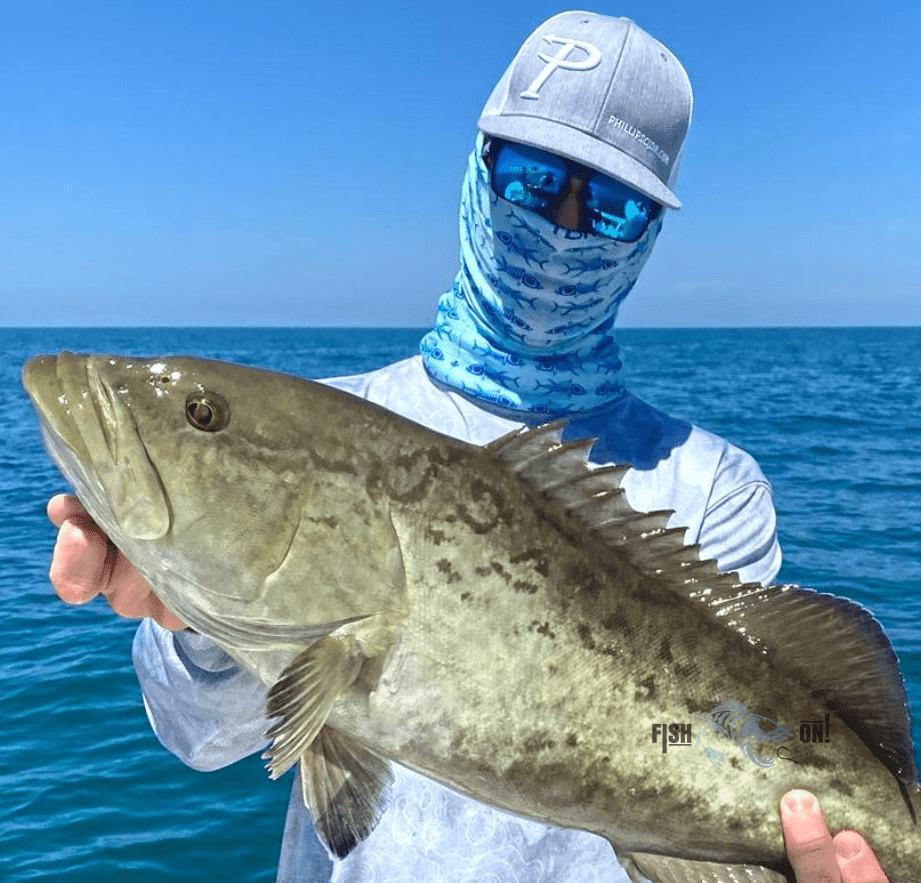
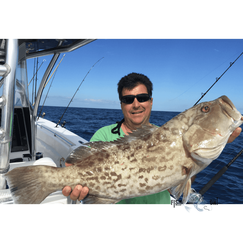
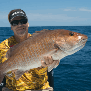
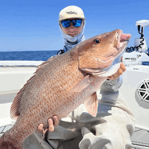
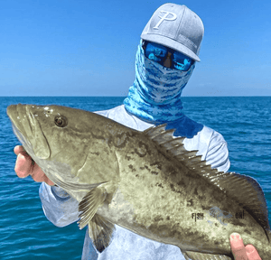
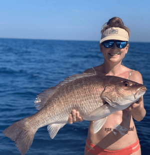
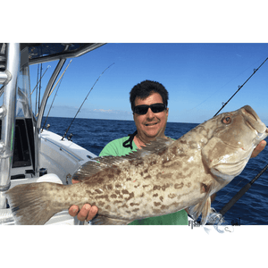
Nos forfaits pour la pêche en eaux profondes sont conçus pour les pêcheurs expérimentés au long cours. Si vous souhaitez pêcher en grande profondeur le mérou de Varsovie, le mérou neige, le mérou à bordure noire et jaune, le vivaneau royal et le tilefish, ou pratiquer la pêche à la traîne pour le mahi-mahi et le wahoo, ce forfait est fait pour vous. Fonds de qualité en eaux profondes de 60 à plus de 90 mètres.
Ce forfait est conçu pour une pêche de précision. Nombre de ces sites se trouvent juste au-dessus de sources et de trous sous-marins, de gros rochers et de corniches abruptes. Profitez-en pour optimiser vos prises et soyez assuré de pêcher dans les meilleurs endroits.
Compatible avec les écrans multifonctions Garmin, Simrad, Lowrance, Raymarine, B&G, Humminbird et Furono . Fonctionne également avec les applications de ces fabricants, ainsi qu'avec tout appareil mobile ou tablette exécutant un logiciel de cartographie GPS tel qu'Active Captain, Navionics, Aquamaps, Basecamp, GPX Studio, Google Earth et bien d'autres.
Plus de Fish On


